The Cospas-Sarsat system
The Cospas-Sarsat System
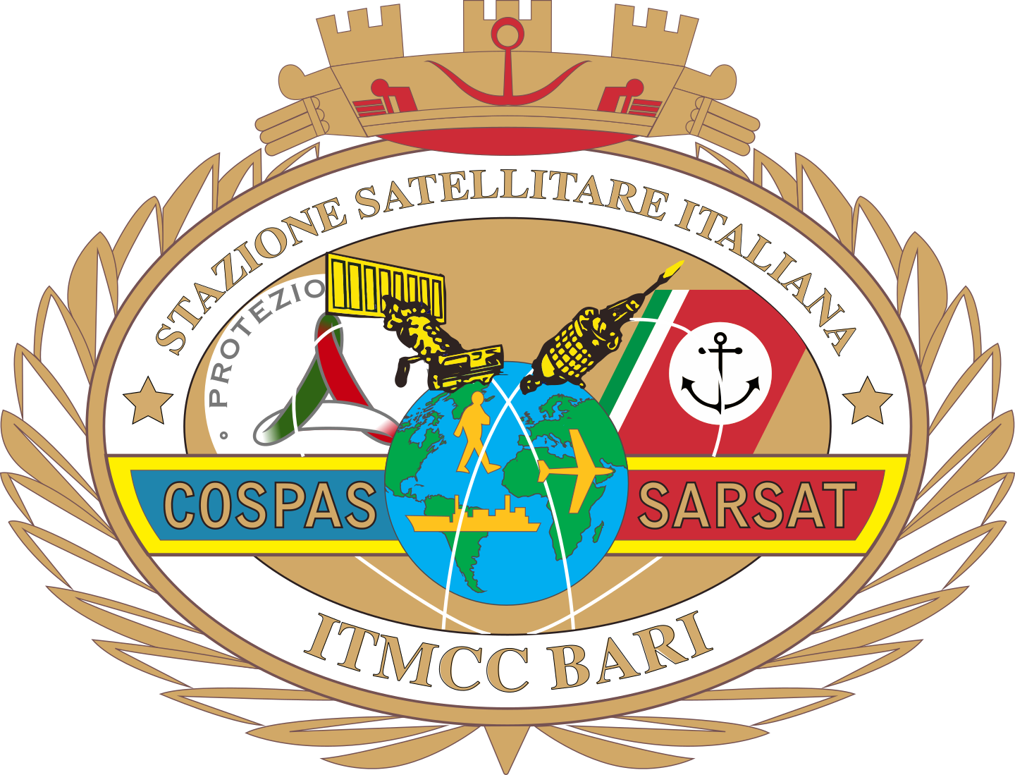
COSPAS-SARSAT is an International Satellite System designed to assist search and rescue operations, conceived by CANADA, FRANCE, the USA and RUSSIA. Numerous other countries around the world have joined the System. The System aims to rapidly provide location data of carriers in distress to teams engaged in SAR (Search and Rescue) operations;
Rapid intervention by SAR teams increases the survival rate of the people involved, and the localisation of an incident reduces both the costs of operations and the risks to which the teams involved in search and rescue operations are exposed. To achieve these aims, the system uses three components: Emergency Transmitters, Satellites and Terrestrial Receiving Stations. The transmitters, called Beacons, operate on two frequencies: 406 MHz (digital) and 121.5 MHz (analogue, used for radiogoniometric research);
Beacons, depending on their use, are subdivided into EPIRB, ELT or PLB and transmit the signal on the 406 MHz digital frequency. The signal is received by LEO and GEO satellites, low polar orbit and geostationary satellites respectively, which are equipped with equipment that relays the transmission to ground stations called LUTs (Local Use Terminals). The LUTs process the signal to obtain location data (Geographic Coordinates), which they transmit to the associated MCCs (Mission Control Centres). The Mission Control Centre relays the location to other MCCs or SPOCs (Search and Rescue Contact Points) in its service area or RCCs (Rescue Coordination Centre) for subsequent rescue actions.
Video presentation of the COSPAS-SARSAT system
LEOSAR SYSTEM (Low Polar Orbit Satellites)
COSPAS-SARSAT has demonstrated that the reception and localisation of 406 MHz satellite transmitter signals can be facilitated by global monitoring by satellites positioned at low altitudes and near-polar orbits. Complete coverage of the Earth, including the Polar Regions, can be acquired using emergency beacons operating on the 406 MHz digital frequency. With older generation beacons operating on the 121.5 MHz analogue frequency, coverage of the System was not global, since reception of the alert signal depended on the reciprocal visibility of the satellite, beacon and receiving ground station. The cessation of satellite processing of the 121.5/243 MHz analogue frequencies ended on 1 February 2009. Cospas-Sarsat decided to terminate analogue frequency processing in response to guidelines provided by the International Civil Aviation Organisation (ICAO) and the International Maritime Organisation (IMO). These organisations, responsible for aviation and maritime safety, recognised the limitations of 121.5/243 MHz transmitters and the superior capabilities of the 406 MHz digital frequency.
The use of Cospas-Sarsat by SAR organisations began on 9 September 1982 when an aircraft crash occurred in Canada in which three people were rescued. Since then the System has been used in thousands of SAR events contributing to the saving of thousands of lives around the world. The decision to use Low Polar Orbit Satellites stems from two considerations: the relative height of the Satellites requires limited beacon signal transmission power, while the Near Polar Orbit allows coverage of the entire planet. A single Satellite, orbiting the globe and passing through the Poles, eventually sees the entire surface of the Earth. The path of the Satellite remains fixed, while the Earth rotates underneath it: therefore, only half of the Earth's rotation (i.e. 12 hours) is required for any point to pass under the Satellite's path. With a second Satellite, having a plane orthogonal to the first, only a quarter of the Earth's rotation is required, or 6 hours at most. In fact, COSPAS-SARSAT was designed to have a minimum constellation of four Satellites, which results in a waiting time, at medium latitudes, of less than 1 hour; increasing the number of Satellites orbiting suitable orbit planes further reduces the waiting time.
Russia provides COSPAS satellites placed in near-polar orbits at an altitude of about 1,000 km and equipped with 406 MHz SAR instruments. The USA provides SARSAT satellites placed in near-polar orbits in solar synchronism at an altitude of about 850 km and also equipped with 406 MHz SAR instruments supplied by Canada and France respectively. Each satellite completes a full Earth orbit around the poles in about 100 minutes, travelling at a speed of 7 km per second. The satellite sees a band of land more than 4,000 km wide as it rotates around the globe, providing an instantaneous field of visibility the size of about a continent. Seen from the earth, the satellite crosses the sky in about 10-15 minutes, depending on the maximum elevation angle of the satellite in the particular passage.
The COSPAS-SARSAT space segment
GEOSAR SYSTEM
The 406 MHz GEOSAR system consists of 406 MHz repeaters installed on board the various geostationary satellites and associated ground stations called GEOLUTs. The GEOLUTs have the capacity to receive transmissions from 406 MHz beacons relayed by the geostationary satellites. Geostationary satellites orbit at an altitude of 36,000 km, with an orbit period of 24 hours and relative motion with respect to the globe, at a latitude of approximately 0 degrees. A geostationary satellite provides GEOSAR earth coverage of approximately one third of the globe, except for the polar regions. Therefore, three geostationary satellites, properly positioned, can provide continuous coverage of all areas of the globe between 70° North and 70° South latitude. Since a geostationary satellite remains apparently fixed with respect to the earth, there is no Doppler effect on the received frequency, so the Doppler technique cannot be used to locate distress beacons;
LEOSAR-GEOSAR SYSTEM
The use of Low Polar Orbit satellites does not allow continuous coverage. Hence the possible delay in the reception of alarms. Waiting times for signal reception by the LEOSAR System are longer in equatorial regions than in higher latitudes. Geostationary satellites provide global coverage with an immediate capacity for signal reception. Considering the specific characteristics of the LEOSAR System and the GEOSAR System, in terms of coverage, the two Systems are clearly complementary. The fast signal reception by GEOSAR satellites can be used by SAR forces even when the beacon message does not contain position information. The GEOLUT will receive the hexadecimal code of the transmitter which, if recorded in the database, will provide the information of the transmitting carrier. This information can be useful to determine whether it is a false alarm without any expenditure of human resources and means. The 406 MHz beacon signals from the LEOSAR and GEOSAR systems can be simultaneously used to improve the Doppler position and thus the accuracy of the location.